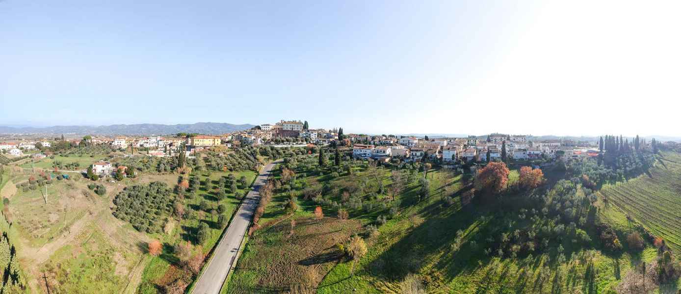
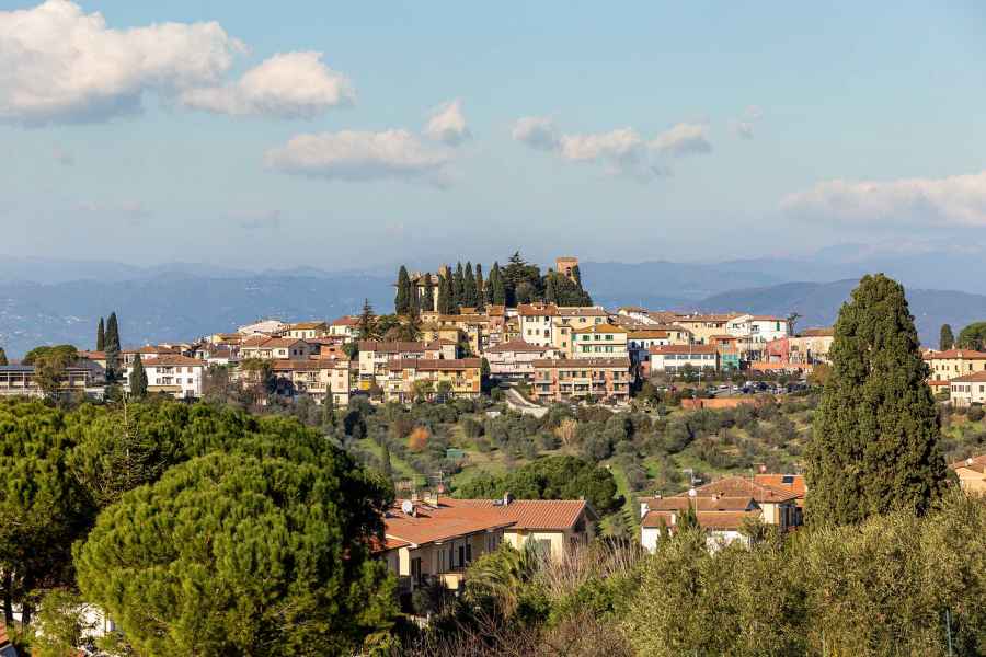
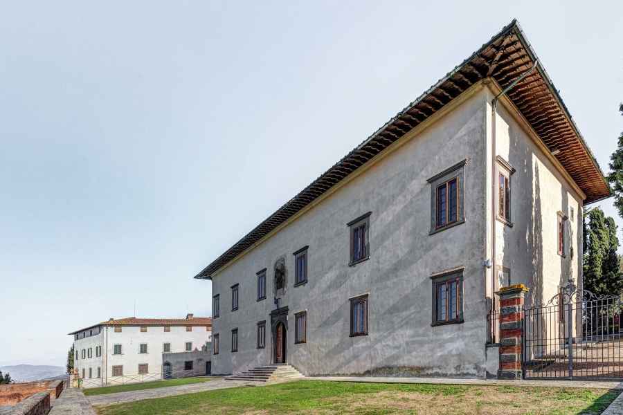
Leonardo drew Cerreto Guidi on one of his most detailed maps, representing the Lower Valdarno, map RL 12685 of Windsor collections. It is situated west of Collegonzi, on the right bank of the river, slightly upstream from the bends that have been formed in the flatlands of the territory around Empoli. As Leonardo drew it, Cereto displays the form of a fortified village with eight towers, and so it must have appeared at the beginning of the 16th century, before the works that transformed the ancient castle of the Counts Guidi into one of the most beautiful Medici villas of the Valdarno.
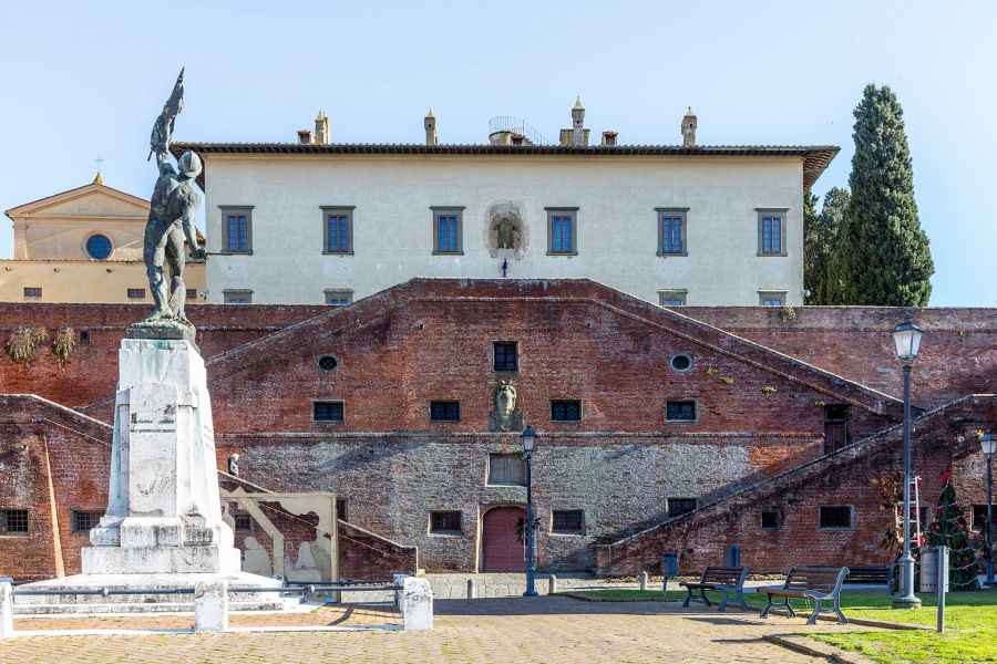
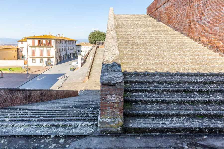
Before the construction of the castle of the Counts Guidi, mentioned for the first time in 1086, the area was already punctuated by a series of villages dependent on the parish of Cellere, one of the most distant parishes of the diocese of Lucca. The parish and the villages of Cellere were controlled at that time by noble families close to the bishop of that city. Among the names of the villages, we recognize some Leonardian places, like S. Senzio (San Zio) and Strela (San Bartolomeo a Streda). Not far from the parish church and the center of what was the territory of its villages, rose the castle of the Counts Guidi. In 1086, it was at the castle of Cerreto that the elderly Count Guido IV, with his wife Ermillina, was in the act of formalizing the family’s patronage of one of the Mugello monasteries. In 1114, further, we find mentioned for the first time, not only the castle of Vinci, but also the castle of Cerreto with its villages (et burgis suis). So at the beginning of the 12th century, the possessions of the noble family in this area of the Valdarno seem to be increasing, with individual fortified villages in a phase of expansion: the castle of Cerreto already had, at this point in time, several villages outside the walls. And, again in the early decades of the 12th century, we must imagine the transfer of the ancient parish of Cellere to the interior of the newly built castle. To indicate the church, in fact, the previous toponym of Cellere was no longer used, but rather the name plebe de Cerreto (parish of Cerreto). It must have been subsequent to the important event, the construction of the new parish building within the walls of the castle, that the church took on its new dedication to San Leonardo, the saint for whom the Counts Guidi had a special devotion. It was to San Leonardo, in fact, that prayers were addressed at that time, since the years of the First Crusade, for the liberation of the knights made prisoners by the Moors. The remains of the original apse of the Guidi parish church of San Leonardo are visible today at the level of the floor of the presbytery of the current church, radically reconfigured during the 19th century. The residence and the buildings of the count, which must have occupied the summit of the castle, were permanently obliterated with the construction of the Villa Medicea di Cosimo I. The remains of the buildings of the ancient castle of the Counts Guidi can perhaps be seen in the ruins visible on the left of the staircase of the Real Villa, in the famous engraving by Giuseppe Zocchi (1744).
Like Vinci and many other castles in partibus Greti, Cerreto also was ceded by the Counts Guidi to Florence in 1254. The deed of sale literally mentions the castello de Cerreto sicut circumdatum est muris et ripis et foveis. When it entered definitively to become part of the Florentine contado, it soon found itself involved in the affairs of war that were igniting the districts of Greti. This area, due to its strategic position in the direction of the Val di Nievole, was often a theater of war in the context opposing the cities of Lucca and Florence during the 14th century. Into this climate of insecurity we find inserted the episode of the rebellion of Baldinaccio degli Adimari, who in 1315, passing to the side of Lucca, took possession of Cerreto as a measure against the Florentines. The Florentine family of the Adimari, whose ancestors had been close to the Counts Guidi, became the main landowners in the areas of Cerreto and Vinci. They were, in fact, protagonists of the acquisition of many of the terrains of the former Guidi possession of Greti, as annalist Simone della Tosa recalls: "the City [of Florence] bought [from the Guidi] what they had in Gretti, and then sold them to certain men of Florence, and the Adimari bought quite a number of them." Following these events, Florence decided to increase the defenses of Cerreto by ordering the construction of a new wall circuit. As the sources of the time say, the new wall circuit must have embraced the entire village, or the castle with the villages that grew around it in ring fashion over time. The wall, almost nine meters high, must have been built partly in masonry and partly in earth: the first two meters above the foundations and the summit layer must have been of stone blocks and bricks cemented with mortar, while the intermediate layer must have been made of earth, or using the pisè technique (earth pressed in formwork). This construction technique is visible in the 14th-century phases of various castles of this sector of the Valdarno. It is also mentioned in the construction of castle houses of Monterappoli and Granaiolo. The new surrounding wall must have been reinforced by eight towers, equipped, as the summit of the curtain wall, with walkways and merlons. Finally, four new doors would have been opened, corresponding to the exits for the main road axes: the Fiorentina and al Padule gates on the South-East / North-West axis, and the gates toward Palagio and Vatignano on the North-East / South-West axis.
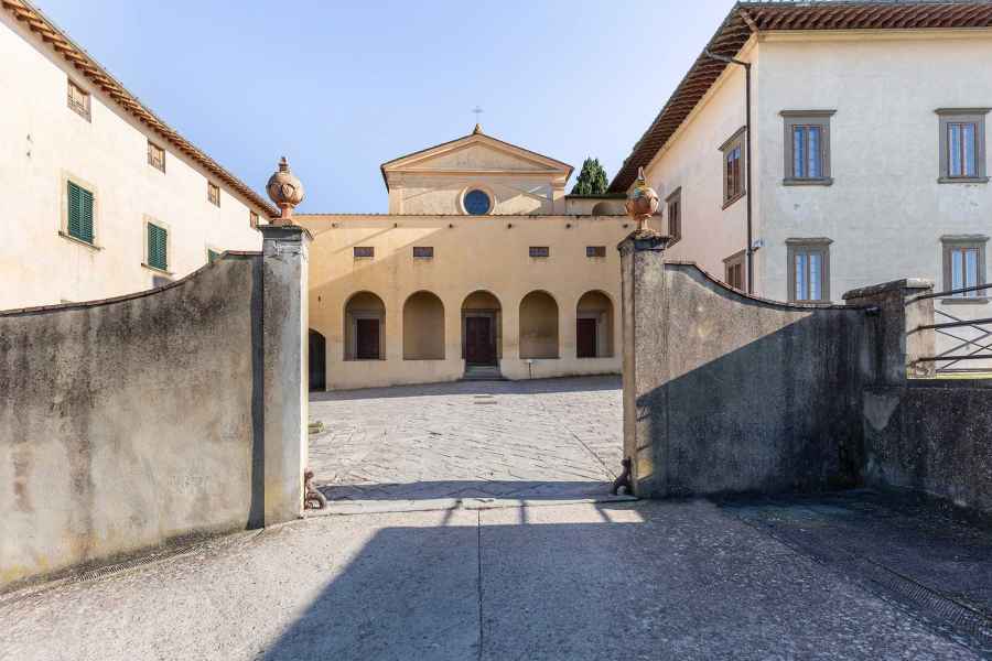
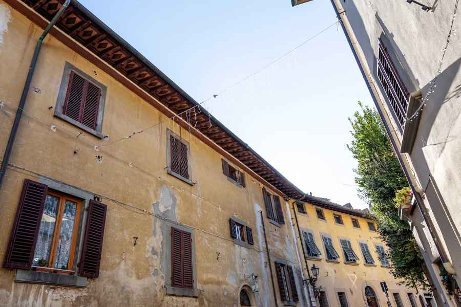
In the 15th century in Cerreto, the old buildings of the upper part, the ancient castle of the Guidi, and the Romanesque parish church of San Leonardo cohabitated, with the major 14th-century intervention of the new walls. The four doors opened out through the wall circuit, which was equipped with eight wall towers and which followed, even widening it, the path of the old banks. A drawing that certainly renders the image of Cerreto in the time of Leonardo is the beautiful late-16th-century map of the Capitani di parte Guelfa, on which the castle is represented in exactly this way. We can clearly see the names of the four gates. The Porta Fiorentina, corresponding to the current Via Roma, led into the road to San Zio and the Arno valley, and was demolished in 1648. The Porta al Padule was on Via Guidi, and was demolished in 1830. The door to the southwest, on the current Via del Mortaio, is described as undone. Finally, the Porta al Palagio is still visible at the end of the Sdrucciolo della Porta, on the way to Toiano and Vinci. The reference to the Palagio must make indicate the fact that it led to the upper part of the castle, where certainly, in ancient times, the noble palatium was situated, and subsequently the residence of the podestà. The entrance of Cerreto into the framework of Florentine administration, in fact, must have necessitated the updating of some buildings of the upper part of the castle: it is perhaps to this phase that we must connect the vaulted structure with four arches, with squared sandstone pillars, located at the base of the bell tower of the church of San Leonardo. Thus, this image corresponds to the form with which Leonardo drew the castle of Cerreto in the famous bird's eye view of map RL 12685 of Windsor. This representation would appear to intend to reproduce some of the structural features of Cerreto of that time, such as the eight towers of the wall circuit rendered by Leonardo in the sketch, that were literally required in the Florentine provision of 1336: octo turribus altitudinis viginti quinque brachiorum. Eight towers of about 15 meters height, almost twice the height of the walls. The towers must have risen sharply from the edge of the walls, creating a particular profile when viewed from a distance. This is the effect rendered by Leonardo in his drawing. Finally, in the center of Leonardo’s Cerreto, it seems we can make out details of the buildings in the old part of the castle, where, at that time, the parish church of San Leonardo and the palagio (mayoral palace) of the podestà were effectively situated. There is still no trace of the imposing construction of the Villa Mediacea of Cosimo I, which would be built at the upper part of the castle several decades later.


