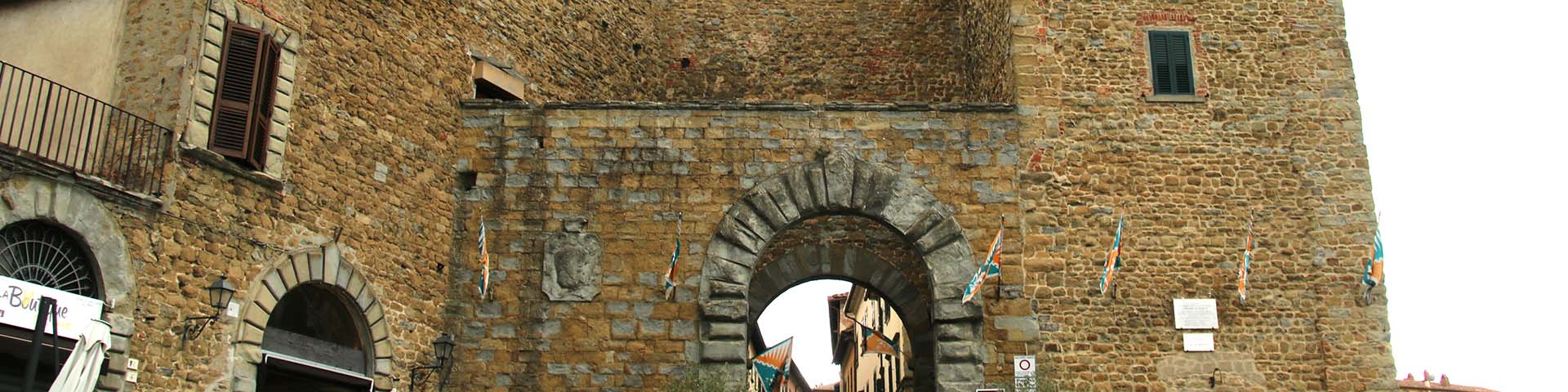
Leonardo describes in considerable detail ‘Castiglion Aretino’, the present-day town of Castilion Fiorentino, on map RL 12278, “with its complex system of defences: a cassero (bridgehouse) with its tower, [the] encircling wall and towers [and], I would mention, buildings outside the city walls, specifically at the foot of the hill along the road with a series of bridges that traverse the Celone and other torrents” (G. Cherubini, Note sul territorio di Castiglion Fiorentino, presented during the Giornata di Studi Giovanni Acuto, le compagnie di ventura in Italia nel XIV secolo e il territorio di Castiglion Fiorentino, October 1994).
Based on a survey conducted by him in situ, on map RL 12682 Leonardo has not only marked the location of Castiglion Fiorentino, but also noted the distances between this town and other sites in Arezzo and Valdichiana, such as: “… from Castiglione to Montecchio, miles one; from Castiglione to Mammi, miles one; from Castiglione to the Montanina, miles four; from Castiglione to Cortona, miles five; from Castiglione to Vitiano, miles two; from Castiglione to Rigutino, miles three; from Castiglione to Puliciano, miles five; from Castiglione to Pigli, miles six; from Castiglione to Olmo [that is, between the mountain passes that one must cross to reach Arezzo], miles eight”.
On f. 918r in the Codex Atlanticus Leonardo provides particularly detailed topographic information regarding the roads and watercourses (with distances carefully measured and noted) in the area bordered by the Chiana River and dotted with fortified castles.
With the effects of human habitation and progressive silting the ancient course of the Tiber River gradually changed, leading to the formation in the Middle Ages of a vast, insalubrious area of marshland in the region, and later forming a bend in the direction of the Arno, thus lengthening its course for a short stretch and creating an inversion of the Chiana River. Two watercourses flowed out of the marshes, one meandering south to empty into the Tiber, and the other flowing in a northerly direction towards the Arno. Many unsuccessful attempts were made to drain the swamp and reclaim the Valdichiana. Around the middle of the 16th century work began on the construction of the Canale maestro della Chiana, which would carry to the Arno the wastewater that it collected along its path.


-
Home

-
Places
-
Province of Arezzo
- Municipality of Arezzo
Castiglion Fiorentino
Texts by
Alessandro Vezzosi, in collaboration with Agnese Sabato / English translation by Lisa Chien
Related resources
External links
Gallery


Related resources
External links
Gallery