

Arno
Leonardo draws the entire course of the Arno on two maps: RL 12277 (Windsor Castle), with indication and denomination of its main tributaries; and the Codex Atlanticus, f. 910r, without hydrographic denominations and with only 12 Casentino place names. These maps are remarkable for their precision and for their aesthetic quality. In them Leonardo re-elaborated the traditional layout of the maps by Pietro del Massaio datable between 1456 and 1472.
Leonardo also represents in detail three large areas in the Arno Valley on maps RL 12278 (preceded by RL 12682), 12683 (preceded in part by folio 305r in the Codex Atlanticus and appearing in more detail on folios 52v-53r of Madrid Ms. II) and 12685 (which coincides in part with folios 22v-23r of Madrid Ms. II and with RL 12279). The Arno River starts in the Commune of Stia in Casentino, on the south side of Monte Falterona, in the Tuscan-Romagnolo Apennines, at Capo d'Arno (called the Lake of Idols for the finding there of Etruscan bronze votive statuettes) at an altitude of 1,385 m above sea level.
With a course of 241 km, it traverses, or delimits, the territory of 48 communes in the 4 provinces of Arezzo (Arezzo, Bibbiena, Capolona, Castel Focognano, Castel San Niccolò, Chiusi della Verna, Civitella Val di Chiana, Laterina, Montevarchi, Ortignano Raggiolo, Pergine Valdarno, Poppi, Pratovecchio, San Giovanni Valdarno, Stia, Subbiano, Terranuova Bracciolini), Florence (Bagno a Ripoli, Capraia and Limite, Cerreto Guidi, Empoli, Fiesole, Figline Valdarno, Florence, Fucecchio, Incisa Val d'Arno, Lastra a Signa, Londa, Montelupo Fiorentino, Pelago, Pontassieve, Reggello, Rignano sull'Arno, Scandicci, Signa, Vinci), Prato (Carmignano) and Pisa (Calcinaia, Cascina, Castelfranco di Sotto, Montopoli Val d'Arno, Pisa, Pontedera, San Giuliano Terme, San Miniato, Santa Croce sull'Arno, Santa Maria a Monte, Vicopisano). Its water basin includes 166 communes (160 of them Tuscan).
Marti
Leonardo represents and indicates the stronghold of Marti, in the Commune of Montopoli in Val d'Arno.
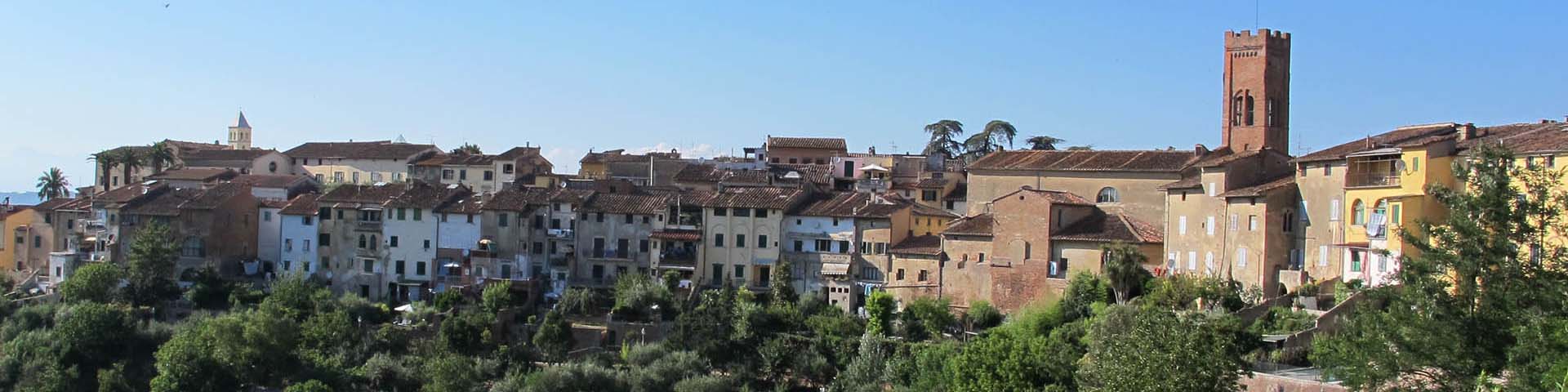
Montopoli
By "Monte Topoli", Leonardo indicates the stronghold of Montopoli, long the seat of the Valdarno vicariate, on map RL 12683 and mentions it in Madrid Ms. II (ff. 2r, 3r).
San Romano
Leonardo represents and indicates the stronghold of San Romano, in the Commune of Montopoli in Val d'Arno, on map RL 12683 and mentions it also in Madrid Ms. II (f. 16r, as "Torre a San Romano" and f. 22v).
Santa Croce
On the right bank of the Arno, Leonardo represents the stronghold of Santa Croce sull'Arno without indicating its name. He thus marks the beginning of the Pisan territory subject of his reconnoitering. Santa Croce appears also on other Leonardo folios: in Madrid Ms. II (ff. 2r, 3r, 22v-23r) and on map RL 12279 .