

Alberese
Leonardo represents and indicates the stronghold of Alberese, in the Commune of Grosseto, at the centre of a natural park remarkable also for the Berber horses originally imported by the Romans from Numidia and the cattle derived from cross-breeding with animals of Asiatic origin.
Campagnatico
Leonardo represents and indicates the stronghold of Campagnatico, where imposing remains of the circle of walls can still be seen, with the Rocca Aldobrandesca, the Pieve of S. Giovanni Battista (12th century) and the medieval cisterns.
Capalbio
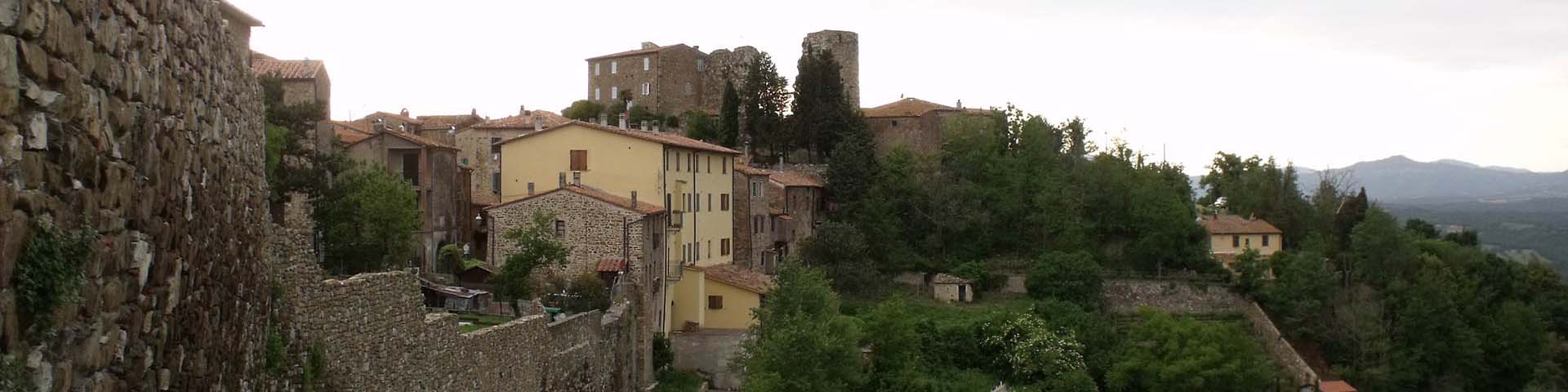
Leonardo represents and indicates the stronghold of Capalbio.
Cinigiano
Leonardo indicates the castle of Cinigiano, in whose keep survive a few remains of the twelfth-century medieval walls. He also indicates, but further south, what could be Vicarello di Cinigiano.
Cornia
By 'Corna', Leonardo indicates the course of the Cornia on maps RL 12277 and RL 12278 (Windsor Castle). The water course gives its name to a valley of great historical and anthropological interest. It traverses the Communes of Monterotondo Marittimo, Campiglia Marittima, Piombino, Suvereto, Castelnuovo di Val di Cecina, Monteverdi Marittimo, and Pomarance. On map RL 12277 Leonardo indicates that it flows into the 'Stagno' (pond) between Piombino and Scarlino. Coordinates taken at Leccia.
Farma
By 'L[a] Farma fl.' and 'Farna f.', Leonardo indicates the course of the Farma torrent on maps RL 12278 and RL 12277 respectively. In the Ombrone basin, the Farma flows through the Communes of Monticiano (in the Senese), Civitella Paganico, Montieri and Roccastrada (in the Grossetano). Coordinates taken at the Pari locality (Province of Grosseto), where it flows into the Ombrone.
Monte Argentario
Leonardo indicates Monte Argentario on map RL 12278, but does not show it projecting into the sea as on map RL 12277.
Montenero d'Orcia
By 'Monte Nero', Leonardo indicates the castle of Montenero d'Orcia, in the Commune of Castel of the Piano, built around the year One Thousand as the castle of the Abbey of San Salvatore al Monte Amiata.
Monterotondo Marittimo
By 'M. Ritondo', Leonardo indicates the stronghold of Monterotondo Marittimo, which derives its name from the conical shape of the hill on which it stands.
Orbetello
Leonardo represents and indicates the stronghold of Orbetello but does not draw it nor mention its lagoon.
Paganico
'Walled land' constructed by the Sienese to defend the Ombrone valley, to control Maremma and to provide access to the coast.
Pari
The medieval town of Pari, frequented already in Etruscan and Roman times, was, like Civitella Paganico (the commune too which it belongs), a residence of the Counts of Ardenghesca, and then passed under the domination of Siena.
Porto Ercole
Leonardo represents and indicates on the coast the fortifications of Porto Ercole, in the Commune of Monte Argentario. In 1610 Michelangelo Merisi, known as Caravaggio, died there.
Sasso d'Ombrone
By the ancient name of 'Sasso of Maremma', Leonardo indicates the stronghold of Sasso d'Ombrone, in the Commune of Cinigiano, of which there remains today an arch and some ruins at the top of the hill. It was the seat of a commendam of the Knights of Malta.
Sovana
By 'SUANA', Leonardo indicates the Etruscan city of Sovana, in the Commune of Sorano, on maps RL 12278 and RL 12277. The Rocca Aldobrandesca is what remains of the ancient stronghold built in medieval times when Sovana was controlled by the Aldobrandeschi family. The walls were erected around the year One Thousand to defend the city from possible enemy incursions.
Travale
Leonardo represents and indicates the medieval town of Travale, in the Commune of Montieri.